
Utah County ZIP Codes and Areas
The official Utah ZIP-by-county list pairs ZIPs with postal cities, while the Utah Geographic Reference Center maps approximate ZIP Code Areas. The lists are useful starting points, but a street address must still be checked against USPS and the county parcel layers. The main Utah County associations are summarized below.
The ZIP-by-county capture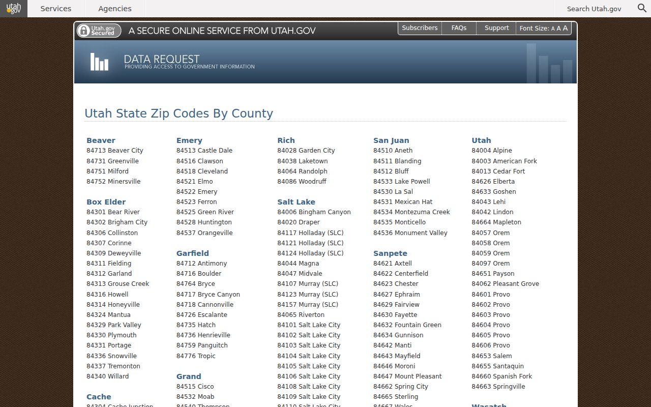 shows the official postal-city list used for the table.
| ZIP Code | Areas Covered | Post Office | Notes |
|---|---|---|---|
| 84003, 84004, 84013 | American Fork, Alpine, Cedar Fort | Postal city varies | Use the official county list |
| 84043, 84045, 84048 | Lehi and nearby delivery areas | Lehi area | 84048 is the newer northern-Lehi ZIP |
| 84057, 84058, 84059, 84097 | Orem area | Orem | Postal labels do not set city limits |
| 84601–84606 | Provo addresses and associated delivery areas | Provo | Different ZIPs serve different sectors |
| 84626, 84633, 84651, 84653, 84655, 84660, 84663, 84664 | Elberta, Goshen, Payson, Salem, Santaquin, Spanish Fork, Springville, and related areas | Postal city varies | Confirm the exact street |
The current research set does not establish a universal Utah County resident directory keyed by ZIP, a PO-box-only ZIP inventory, or a unique institutional ZIP list. Treat the ZIP as a delivery filter. It narrows geography, but it does not prove occupancy, ownership, or voter status.
Why Utah County ZIP 84048 Matters
USPS added ZIP 84048 for northern Lehi effective July 1, 2025. The UGRC announcement estimates roughly 11,500 address points and says 84043 remains for the rest of Lehi. UGRC added polygon and geocoding support, and the ZIP-area data was updated again in February 2026.
That change is a useful history test. A directory, deed, voter file, parcel layer, or mailing record made before the split may show 84043, while a current postal lookup returns 84048. The difference does not by itself show that a resident moved. Save the record date beside the ZIP.
The 84048 update capture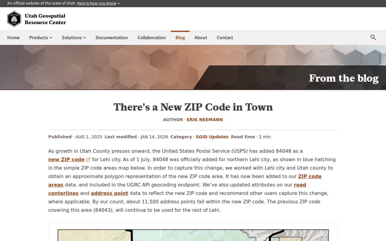 links the local ZIP change to the official announcement.
ZIP Filters in Utah County Records
ZIP fields appear in some systems and not others. The county Land Records address form has no visible ZIP field, so a ZIP-first search should move through GIS and postal validation before owner-name work. The voter form does include Zip, but it is a current status tool rather than a countywide resident list.
| Route | ZIP Use | Limit |
|---|---|---|
| Utah ZIP-by-county list | Postal ZIP and city pairs | Not a parcel or person database |
| UGRC ZIP areas | Approximate polygon and feature service | Not identical to delivery routes |
| Utah voter search | Zip field with name and address fields | Protected voters omitted |
| Parcel Map and SGID | Address, city, parcel and layer context | Refresh dates and schemas differ |
| USPS ZIP Lookup | Exact-address validation | Does not establish municipality or occupancy |
The Utah ZIP-by-county list and USPS exact-address lookup should be read together for a specific address.
Find Utah County Records by ZIP
A ZIP code directory workflow should narrow place first, then identify the record that can answer the real question. The county voter page supports request products such as voter lists, vote history from 2015 forward, and precinct or district lists, with public fields and protected-voter exclusions. The Parcel Map and statewide parcel layer can identify land and ownership context. Neither is a list of every household.
- Check the official Utah County ZIP-by-county list and note its postal-city label.
- Open the UGRC ZIP area or county GIS layer to see the approximate geography.
- Validate the exact address with USPS, then use the Parcel Map or Land Records route.
- If a public voter question remains, use the state search or county request process and retain the file date.
Once the ZIP is narrowed to an address or road, use the Utah County street directory workflow for parcel, deed, municipality, and address-grid checks.
Map Utah County ZIP Areas
The UGRC product labels ZIP Code Areas as approximate and records update history, including Orem 84059 in January 2019, the Lehi 84048 change in June 2025, and the February 2026 update. The county ArcGIS ZIP layer can display a ZIPCODE polygon, while the county municipality layer shows a different boundary system.
A parcel’s situs ZIP belongs to the physical site. The owner mailing ZIP belongs to the owner’s mailing address. The two can differ, and the legal municipality can differ from both. Store all three fields with their source and date rather than replacing one with another.
The address-quadrants capture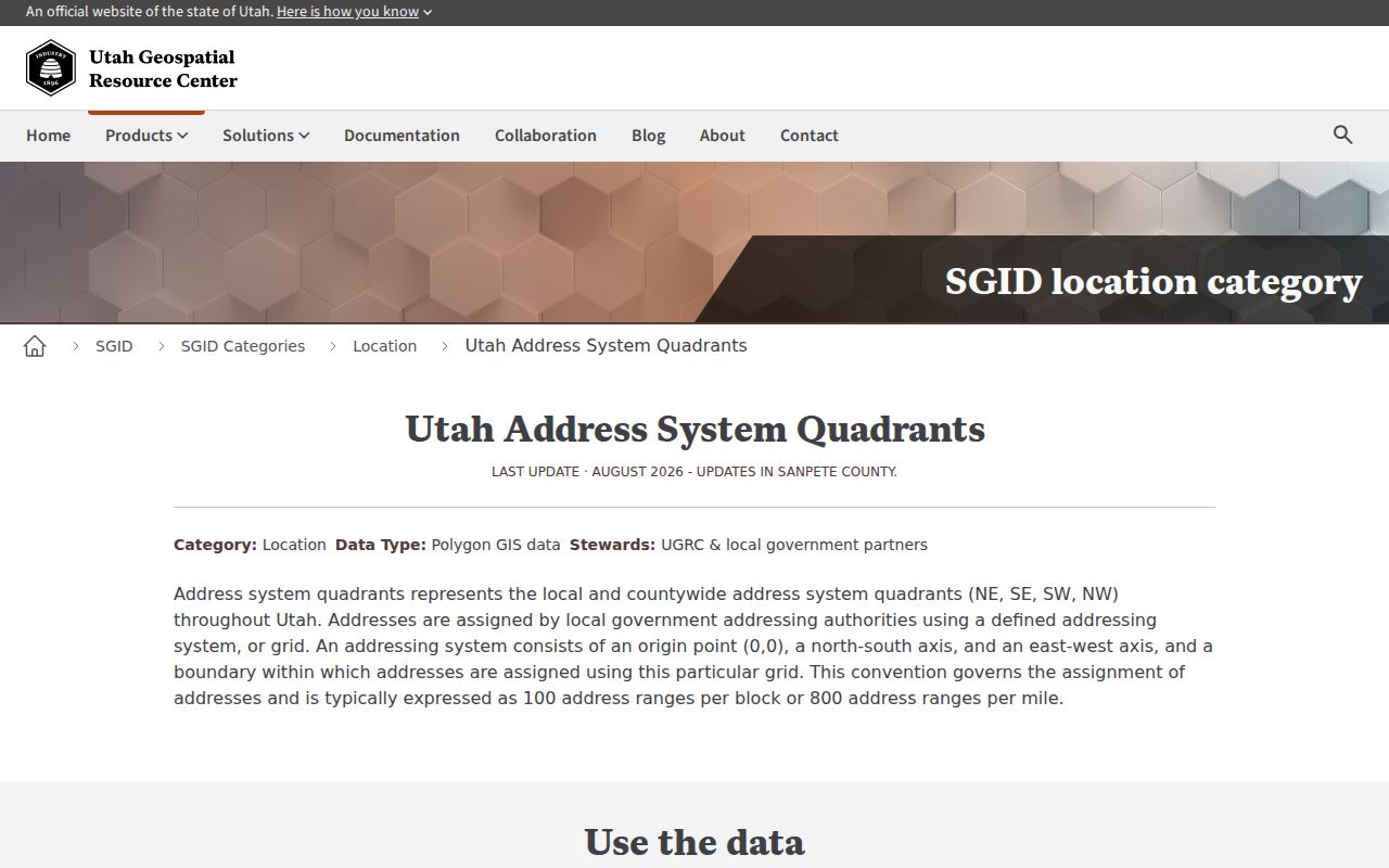 connects ZIP research to Utah’s municipality-specific grid rules.
The Utah ZIP-area capture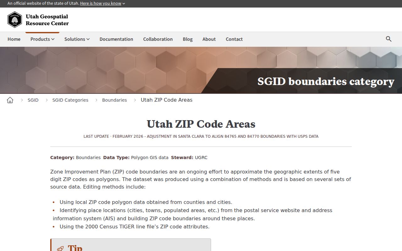 shows the approximate boundary product used for geographic context.
ZIP Geography Is Not a Census Roll
Utah County has a 2025 Census QuickFacts population estimate of 759,859, but a county statistic does not turn a ZIP area into a resident directory. ZIP boundaries are built for delivery, not for a complete count of occupants. Census, voter, parcel, directory, and postal products are separate evidence layers.
Use a statistic to describe scale only. For a person or address, cite the record that actually contains the name, parcel, voter field, or dated listing. A ZIP code directory is a map of search scope, not the conclusion.
The Census profile capture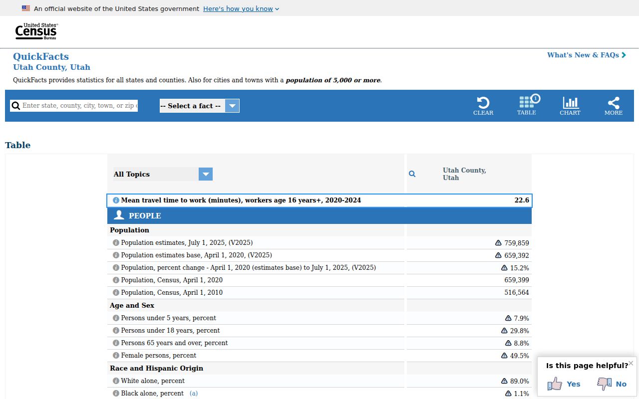 links county-level context to the official QuickFacts source.
ZIP Lines and Utah County City Limits
A postal city is a delivery label. A legal municipality comes from the county or city boundary layer. The Parcel Map metadata also separates site or situs fields from owner mailing fields. For a Utah County ZIP code directory search, preserve the postal city, ZIP, municipality, and parcel address as separate facts.
- ZIP vs ZIP+4
- A ZIP identifies a delivery area; ZIP+4 adds a smaller delivery segment.
- PO-box ZIP
- A postal designation tied to post-office boxes rather than a normal street route.
- Unique ZIP
- A ZIP assigned to a single organization or limited delivery purpose.
- Carrier route
- A postal delivery path inside a larger ZIP area.