
Sources for Utah County Previous Residents
A house history needs more than one record type. Deeds show recorded ownership changes. Directories show listed people and addresses. Newspapers and cemetery records add dated family context. Permits can explain construction chronology, but they do not identify every person associated with a property.
| Source | Years It Covers | Where Held | What It Shows |
|---|---|---|---|
| Recorder official records | 1870–present | Utah County Recorder | Parties, documents, abstracts, plats |
| Polk’s directories | 1917–18 to 2004–present, with gaps | Provo City Library | Names, work, residence, boarding |
| Utah Archives vital records | Birth/death 1898–1905; marriage applications | State Archives | Historical images and indexes |
| Provo Sanborn maps | 1888, 1890, 1900, 1908 | University of Utah and LOC | Blocks, buildings, uses, materials |
| Permits and development | Current route varies | County or city custodian | Construction and subdivision chronology |
Start with the Recorder for the current parcel, the library for a twentieth-century household, and the Archives or Sanborn collection for an earlier trail. The date on every source controls what it can say.
Sanborn Maps Show the Old Block
The University of Utah Provo Sanborn collection contains 72 results: four sheets from 1888, 21 from 1890, 25 from 1900, and 22 from 1908. A 1890 Sheet 18 shows H, I, and J streets with 4th, 3rd, and 2nd, including Provo City Lumber Company. The key distinguishes frame, brick, stone, iron, adobe, and fireproof construction.
Sanborn maps show building footprints, use, material, and adjacent businesses at a date. They do not name every occupant. Pair the map with a directory entry, current parcel, and Utah address-quadrant rules. Do not silently geocode an 1890 address using a modern street or boundary.
The Sanborn sheet record illustrates the historical map layer for a Provo address. The image capture was unavailable in the research set, so use the collection record to identify the sheet and then verify the block against a library or archive copy.
Separate Utah County Parcel Dates
The Parcel Map’s historic-date control records when a parcel entered the online property system, not necessarily when a deed was recorded. For prior residents, use the parcel only as the bridge to a legal description and Recorder history. A historic map snapshot and a deed date answer different questions.
The Land Records hub also links REDI Book 1976–1977 by section and city, typed abstracts, mining indexes, water-right searches, recorder abstract images, and plat-map images. These less obvious routes can help when an old legal description predates a street address.
The Recorder fee capture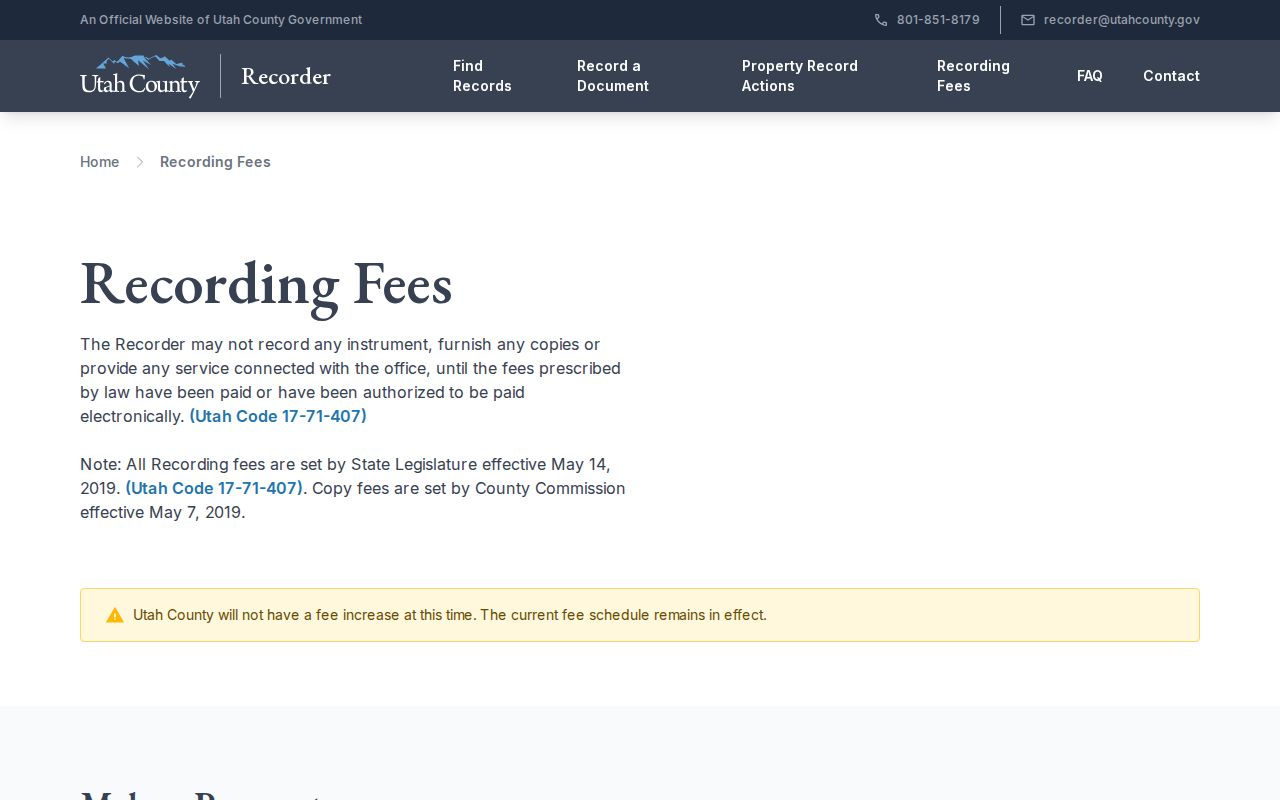 shows the official copy and certification context. Verify the current fee before ordering.
Trace Past Owners Through Utah County
The chain of title is the sequence of recorded transfers for a parcel. Begin with the current owner and legal description, then find the instrument that put that owner into the record. Search the seller as the next grantee, and repeat backward. When the computerized index ends, use the handwritten index, abstract, deed book, or image route.
- Pull the current owner, serial, situs, and legal description from the parcel or Land Records result.
- Find the current owner’s purchase instrument in the Recorder index by party or document route.
- Read the seller or grantor, then search that name as a prior grantee.
- Repeat backward, preserving dates, instrument type, legal description, and index status.
- Move to handwritten indexes, abstracts, plat images, or the Recorder office when the online path stops.
- Grantor / grantee
- The grantor transfers an interest; the grantee receives it in the recorded instrument.
- Chain of title
- The linked sequence of recorded transfers for the same land.
- Legal description
- The formal land description used to identify a tract when a street address changed or did not exist.
Utah Archives Fill Earlier Gaps
Utah Archives has a series search that accepts a keyword phrase or series number and can surface county or city records not indexed in a consumer-facing portal. A focused request should name the series, date span, agency, and record type. The Utah County digital collection includes birth registers 1898–1905, death registers 1898–1905, and marriage-license applications.
Early Utah County marriage applications can contain full names, maiden names, current city, age, license date, location, and witnesses. Applications are private until 100 years, and indexes use volume-specific page numbering. Cite the volume and page or image instead of inventing an application number.
The Archives series-search capture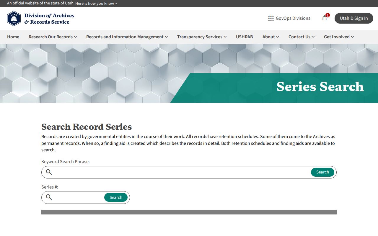 shows the research route for a record set that is not a current resident list.
The historical vital-records capture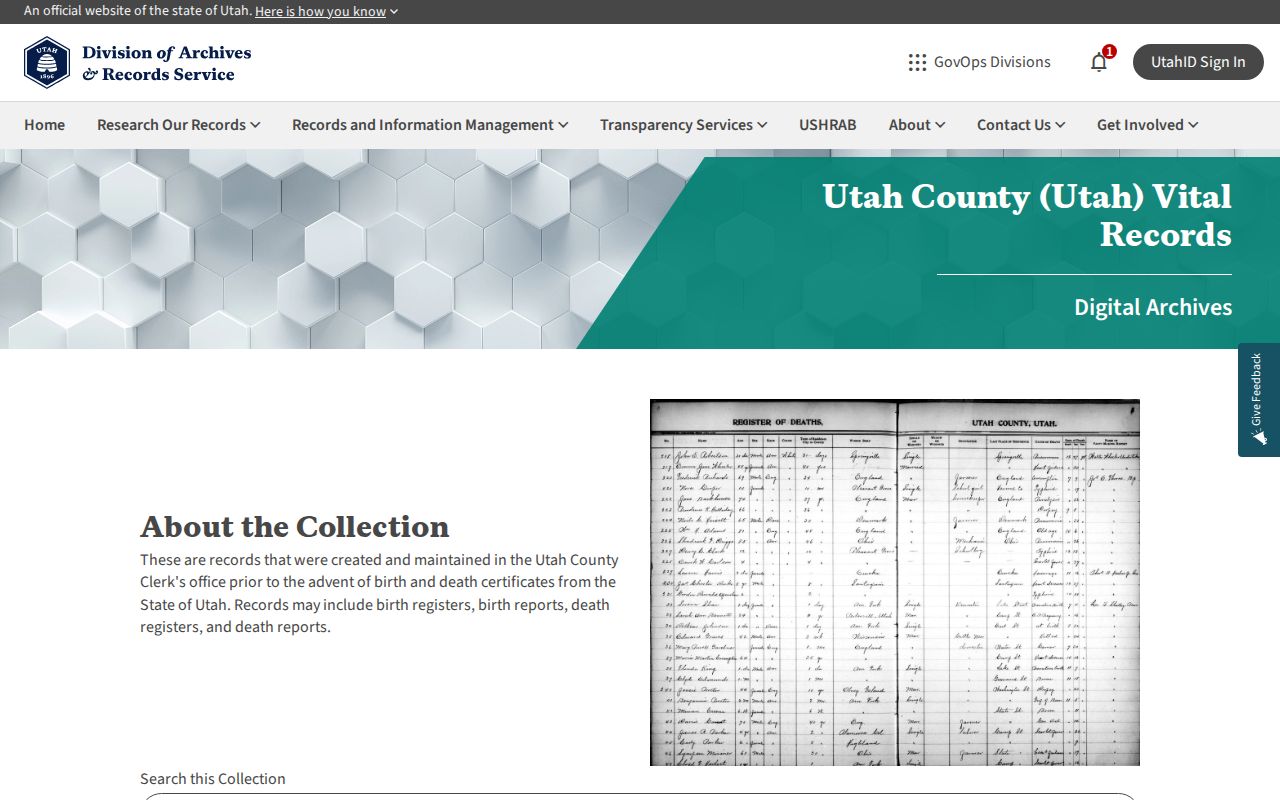 leads to digitized Utah County images and indexes that can anchor a dated household or death record.
Old Utah County Addresses Shift
Directory addresses and current addresses should not be matched by sight alone. Provo’s grid centers on Center and University, while Orem, Lehi, Spanish Fork, Springville, Vineyard, Eagle Mountain, Saratoga Springs, and Woodland Hills use different origins or conventions. An old street name, numbered street, or city boundary may have changed.
Northern Lehi’s 84048 split is a newer example of a label change. Older records can retain 84043 even when a current postal lookup returns 84048. For prior residents, record the address as printed, the modern cross-check, and the reason for the mapping.
Past Households in Dated Sources
Owners are only one layer. A city directory can show a listed resident, boarder, business, or institution at an address. Pair each available directory year with a census year, then use an obituary, cemetery record, or archival vital image to close the family trail. The collection details remain on the Utah County city directory page.
Provo’s obituary index can give a newspaper and date from the 1870s to the year before the current year. The full notice may require microfilm or a digital page. Cemetery records can add a grave, parents, birth and death fields, or remarks depending on the series. Label each as historical evidence, not current occupancy.
Lawful use. Previous-resident research in Utah County is for house history, family history, and lawful personal curiosity. Do not use a historical trail to track, harass, intimidate, or expose a living person.