
Looking Up Utah County Neighbors
A Utah County neighbor search can identify parcels near a starting address, connect those parcels to public owner fields, and add a narrow voter or association context. It cannot establish that every name belongs to a current occupant. The parcel’s situs address, the owner’s mailing address, and a voter registration address are separate fields with separate dates.
The cleanest block record names the source and what it shows: map geometry, owner, public voter field, association registration, or historical address. Avoid copying a whole roll or combining household clues. The question is usually geographic, such as which parcels border a place or which city maintains a record, not a request for a private roster.
| Source | What It Shows About a Block | Access |
|---|---|---|
| Utah County Parcel Map | Adjacent parcels, serials, owner links, historic layer | Free reference viewer |
| Land Records | Owner, situs, mailing, tax and plat context | Free online routes |
| Utah voter records | Public status, precinct, district, and stated fields | Search or request process |
| Utah HOA registry | Association legal name and registration context | Official search, no members |
| Provo directories and maps | Dated households, buildings, and block history | Library or digital collection |
Owners are not the same as occupants. A mailing address can be outside the parcel’s city or state. A public voter result can omit an At-Risk person. A historical directory can describe a past household. These are useful neighbor clues only when labeled as clues and not expanded into a present-day claim.
Utah County GIS Builds the Block
The Parcel Map accepts an address or common place, serial, book/page, owner name, PLSS section/township/range, and city. Search panels include layers, basemap, historic parcel, map tools, print, and support. Start from one address, select the parcel, and inspect the parcels that share an edge or sit within the visible block. The map supports orientation; it is not a survey.
County GIS also provides tax-parcel, address-point, and building-footprint downloads. The municipality layer helps identify a city or unincorporated area. The Property Notification Map serves a distance-based parcel notification use case, but neither it nor the Parcel Map is a list of nearby residents. Use the map to identify parcels and public records, then stop at the source’s stated purpose.
The GIS Division capture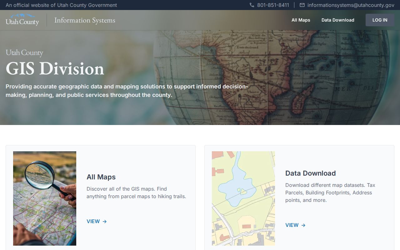 shows the county’s map and download context.
Map a Utah County Block
The adjacent-parcel process is short but needs labels at each step.
- Locate the known address in the Utah County Parcel Map and save the displayed serial and situs.
- Click the surrounding parcels and note owner fields, subdivision, city, and historic-layer date.
- Compare situs and owner mailing addresses without treating either one as an occupant list.
- Use the municipality layer, annexation plat search, or tax entity route when city and postal labels differ.
- For a whole named street, switch to the Utah County street directory address chain.
The Utah County GIS maps page includes parcel, property notification, precinct, roads, hazards, infrastructure, and annexation routes. Keep a time stamp with a map result because county and statewide parcel layers can refresh on different schedules.
Read a Utah County Parcel Cluster
A parcel cluster is a map relationship, not a household list. After the starting parcel is found, compare its serial, situs, owner, subdivision, city, and historic-layer date with nearby parcels. The county GIS map gives spatial context, while Land Records and the Recorder provide separate owner and document routes.
When the goal is a full named-street chain, use the Utah County street directory address workflow. The neighbor view should stay focused on the immediate block and the sources that describe it.
Find a Utah County Association
Utah’s new HOA registry began September 8, 2025. Its search can use a legal name, alias, partial name, or registration number. The registration route includes UtahID, master or subassociation classification, annual renewal, and a $90 registration fee. The registry identifies the community association and does not provide a membership directory.
| Association search | Legal name, alias, partial name, or registration number |
|---|---|
| Registration context | Master or subassociation, UtahID, annual renewal |
| What it can add | Legal association identity for a subdivision or condominium |
| What it cannot add | A list of members, occupants, or household contacts |
The HOA registration capture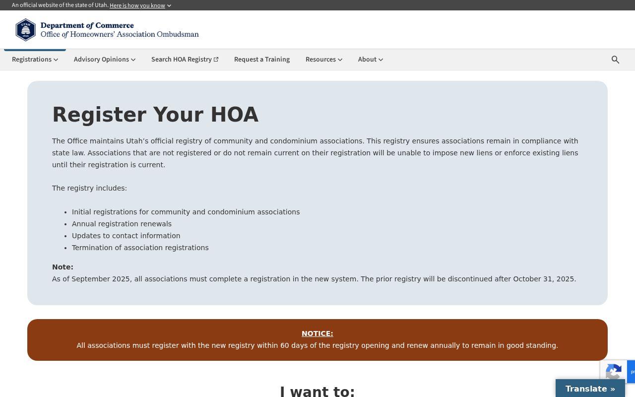 shows the official registration context. Pair an association result with a parcel subdivision or city record, not with a guessed household.
Check the City Around Neighbors
Utah County’s municipality layer is maintained by the Assessor and can help distinguish incorporated cities from unincorporated land. Annexation plats and tax entities add time and service context. A ZIP label, postal city, legal municipality, tax entity, and parcel address may all differ.
This matters for permits, code records, cemeteries, courts, and requests. County building services are limited to unincorporated Utah County; a parcel in Provo, Orem, Lehi, or another city belongs with that city’s building department. Route a record to the custodian that actually holds it.
The municipality-layer capture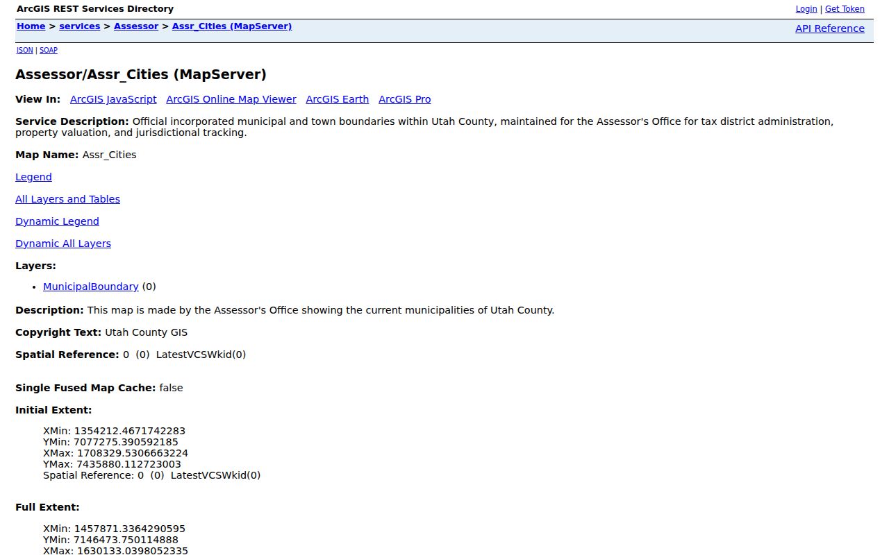 illustrates the boundary check.
Use Civic Records for Block History
Provo’s DocAccess announcement in May 2026 described 2,141 public documents and 35,763 pages, including agendas, minutes, budgets, and strategic plans. Those records can explain a neighborhood project, board action, or planning change. They can add place history without creating a list of private households.
Historical Sanborn maps, cemetery records, library newspapers, subdivision plats, and permits can likewise show how a block changed. A map may show a building footprint or business use, but it does not name every occupant. A newspaper mention is dated community evidence, not a current address.
The GIS maps capture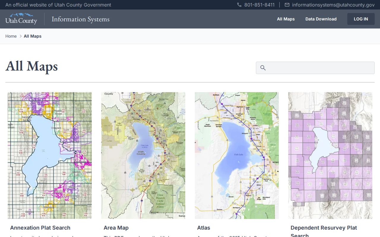 connects civic and map layers to the county’s official route.
The Property Watch capture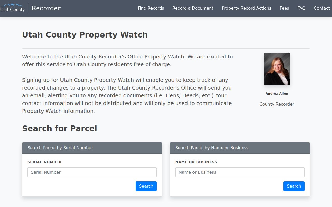 shows the parcel or name subscription route. Alerts concern fully processed recorded changes and are not a guarantee or a nearby-resident list.
Official Records Versus Neighbor Tools
Commercial neighbor tools may combine public and purchased data into a broad profile. That convenience can hide source dates, mix people with similar names, and repeat protected or wrong details. Official records are slower, but their custodian, purpose, fields, and access limits can be checked.
| Approach | Strength | Weakness |
|---|---|---|
| County parcel and Recorder routes | Source, serial, legal land, recorded date | Owner is not every occupant |
| Public voter route | Status, precinct, and stated public fields | Protected voters and private fields omitted |
| Historical library and archive | Dated names, addresses, and context | Gaps, OCR errors, and old information |
| Commercial category | Fast combined search | Unknown freshness, source mixing, and lawful-use risk |
Privacy Limits on Utah County Neighbors
Renters, household members, utility customers, mail recipients, and delivery data are not a public block roster. Safe at Home gives eligible survivors a substitute address and keeps the actual home and mailing location confidential. At-Risk voter protections can remove identifying data from the ordinary public file. Do not combine other sources to defeat either protection.
Utah’s stalking statute describes a course of conduct involving two or more acts such as monitoring, observing, surveilling, communicating, or approaching a residence or associated people. A neighbor lookup should stay limited to lawful neighborhood context, civic research, family history, or personal safety awareness. Keep sensitive fields out of any notes or publication.
Lawful use. Utah County neighbor research is for lawful block context, reconnecting, civic curiosity, and personal safety awareness. Do not use records to watch, stalk, harass, intimidate, or harm anyone.