
Find Utah County Street Records
A Utah County street directory search works best as a chain, not as a claim that one database lists all people. Start with the address. The property search can return a parcel and owner connection. The map can show the parcel cluster and municipality. Voter data may show public registration fields, and a deed index can explain a change in ownership. Historical directories can show who was listed at the address in a particular year.
That order matters. A tax parcel identifies land, not everyone living on it. An owner mailing address may be in another city or state. A voter record is a status source and can omit protected people. A directory entry may describe a residence, business, or boarding place. Label each result before combining it with the next source.
- Enter the number, direction, street, type, and city or location in the Utah County address form. It has All Records and Current Records Only choices and no visible ZIP field.
- Open the Utah County Parcel Map, then inspect the serial, owner, adjacent parcels, city layer, and historic parcel date.
- Use Utah voter search for a public status result, testing the street and city fields only when the person is already identified.
- Follow the parcel or owner into the Recorder party, entry, KOI, or document-description search for the relevant instrument.
- For an older household, consult the Provo library’s directory shelf and criss-cross address section, then record the exact year and page.
Utah County Address Search Fields
The address form is deliberately split into fields. A failed search may be a formatting issue rather than a missing parcel. Try the county’s locality choice and street type, then compare the returned situs address with the map.
| Field | What to Enter | Research Note |
|---|---|---|
| Number | House number | Separate from the street name |
| Direction | Dropdown direction | Keep N, E, S, or W as displayed |
| Street | Street name | Do not put the type in this field |
| Street Type | Dropdown type | Use the county’s selected suffix |
| City/Location | Locality choice | Important in a multi-city county |
| Record status | All or Current Records Only | Choose based on current or historical intent |
The related owner form expects LAST, FIRST MIDDLE, while the party form accepts a recorded name and KOI group. The entry form works from entry number and year or recording date. These are separate routes in the same Land Records family.
The address-search capture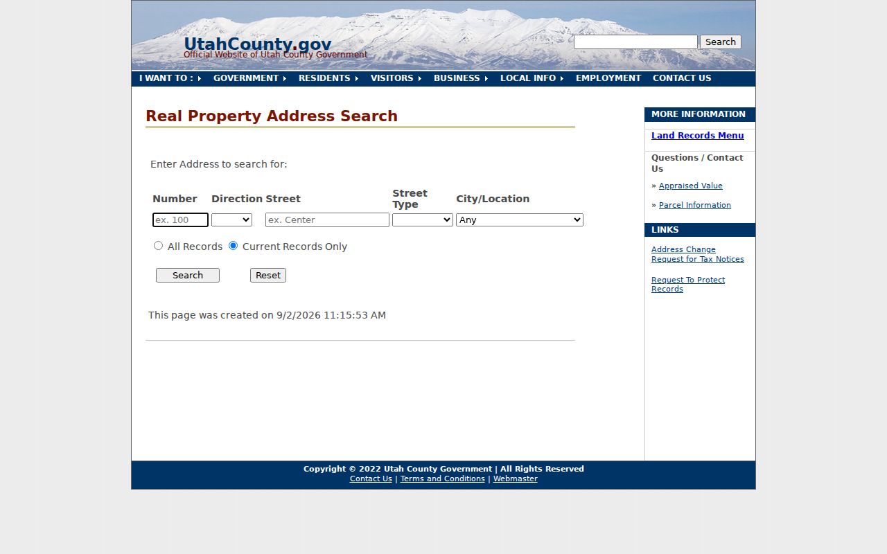 shows the form’s fields and controls. It is a useful visual check when a street name has a local spelling or direction convention.
Walk Utah County Parcels
The Parcel Map supports address or common-place autocomplete, serial number, book/page, full or partial owner, PLSS section/township/range, and city. Its Search, Map Layer, Basemap, Historic Parcel, Map Tools, Print, and Support panels make it useful for a street-by-street pass. Aerial imagery helps orient the map, but the product is a reference map, not a survey.
Use the map to select the starting parcel, then click outward rather than treating a drawn boundary as a household boundary. The municipality layer can expose a city or unincorporated mismatch. Parcel downloads, address points, and building footprints from the GIS Division add context. The statewide SGID layer has fields such as serial, address, city, market value, acres, primary-residence flag, house count, subdivision, building year, owner type, and update fields, though not every attribute is populated for every parcel.
The Utah County Parcel Map capture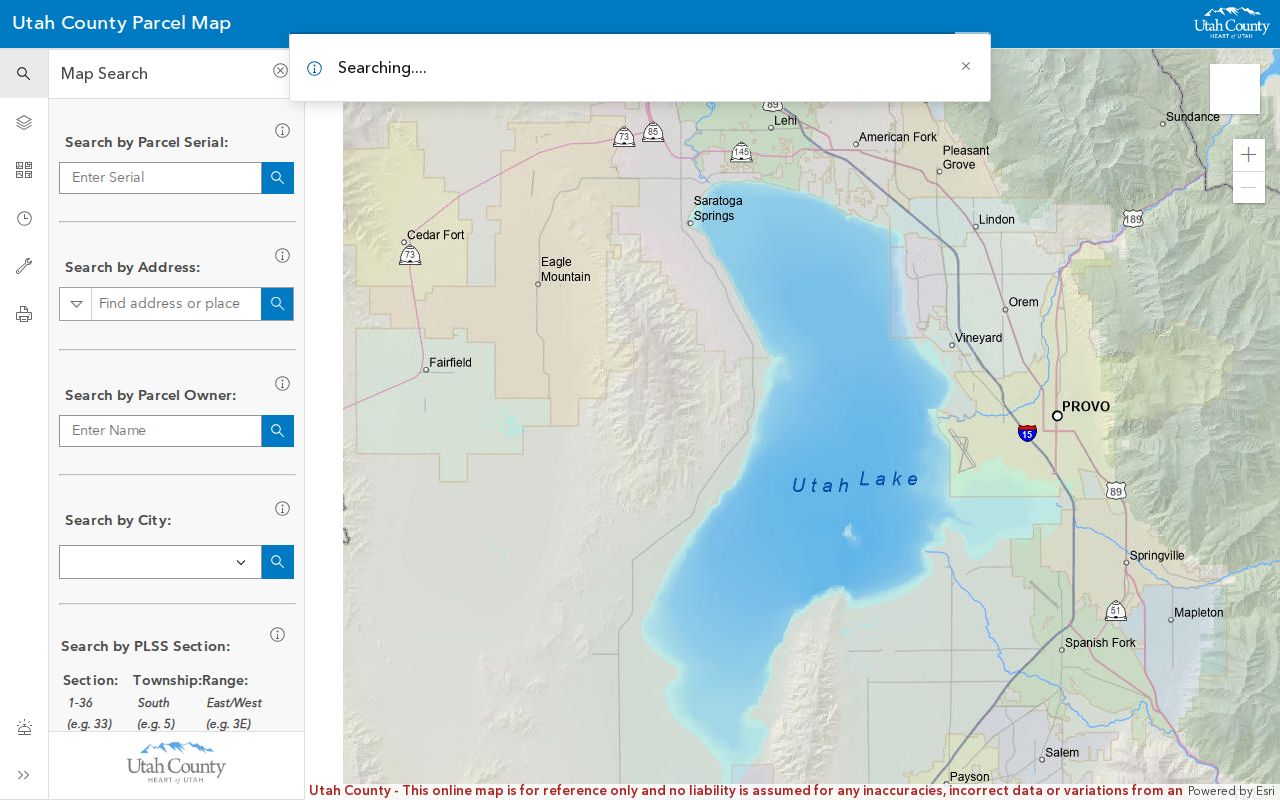 links the parcel view to the official map source. Compare its update context with the GIS Division downloads and maps when a street has many parcels.
Utah County Address Grids Shift
Street names do not mean the same thing across the county. Provo’s address origin is Center and University. Orem uses Center with a Main-line convention. American Fork, Lehi, Pleasant Grove, Spanish Fork, and Springville use Center/Main origins, while Alpine, Eagle Mountain, Saratoga Springs, Vineyard, Woodland Hills, and unincorporated areas have their own rules or origins. Cedar Hills, Fairfield, and Highland can follow an unincorporated grid or another local convention.
Some local details are practical troubleshooting clues. Orem’s Main Street has a gap between 400 South and 300 North. Eagle Mountain and Saratoga Springs use locally defined origins. Vineyard uses its own Center/Gammon and Main origin. Woodland Hills has no north addresses because its origin is at the north city limit. When a street directory search fails, test the municipality and preserve the directional form rather than dropping it.
Utah’s address-system quadrant product is the right cross-check for a city grid. A historic address should not be silently translated into a modern boundary.
Utah County Records Along a Street
Address-keyed records overlap, but their meanings differ. This coverage table keeps the chain clear.
| Record Set | Keeper | What It Shows | Access |
|---|---|---|---|
| Land Records | Utah County | Owner, address, serial, tax and plat links | Free online routes |
| Parcel Map | County GIS | Parcel shape, owner link, layers, historic view | Free reference map |
| Deeds and abstracts | Recorder | Principal parties, document dates, legal land path | Index online, copies vary |
| Voter data | Utah County Elections | Public voter and precinct fields | Request process |
| Permits | County or city | Work and development chronology | Jurisdiction-specific |
The serial number is the best bridge between the parcel and Recorder routes. The street name is weaker because grids, suffixes, and municipality labels vary. Owner mailing fields can point away from the parcel, and a voter address reflects a public registration record rather than every person who resides there.
Street Directory Terms
Use these meanings when an address result seems to conflict with a deed, map, or old volume.
- Parcel
- A mapped tract with a serial or parcel number. One parcel can contain more than one address or structure.
- Situs address
- The physical location of the land. It can differ from the owner’s mailing address.
- Plat
- A recorded map of lots, blocks, or subdivision land. It helps explain a legal description.
- Criss-cross directory
- A street-order list that can show a dated household or business at an address.
Permits Add Address History
County building permits apply to unincorporated Utah County, while parcels inside Provo, Orem, Lehi, or another incorporated city should be routed to that city’s building department. The county application asks for owner and contact, contractor and license, job address, tax serial, lot size, utilities, work description and value, approvals, signature, and fee receipt. It states that work or inspection must begin within 180 days and that a final inspection or certificate is required.
Public Works separately handles access, excavation, land disturbance, floodplain, and related construction permits. A permit can date development, subdivision work, or a change at a parcel. It does not identify every person connected to the site. For a street directory timeline, cite the address, serial, permit type, and issuing jurisdiction.
The development-search capture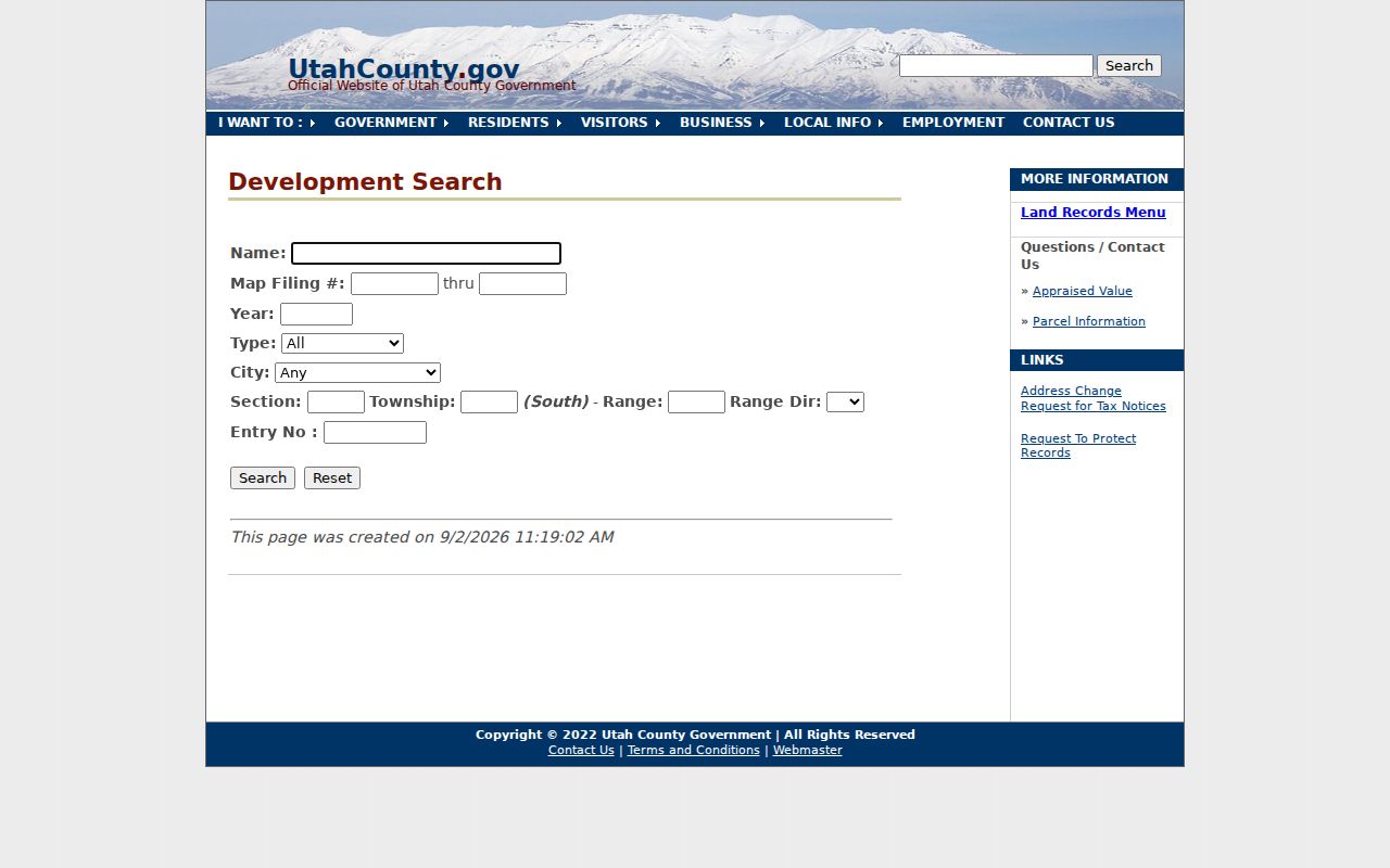 shows the county route for name, map filing number, year, type, city, PLSS, and entry fields.
Follow Deeds Along the Address
The Recorder’s official records run from 1870 to the present. The alphabetical index is handwritten from 1870 through January 1978, then computerized. Abstract records are handwritten or typed through September 1985, with computerized or online abstract coverage beginning in May 1980 and continuing forward. Those overlaps matter when a street history crosses the index change.
Use the party-name form for grantor, grantee, or other recorded parties, and the KOI form when a document code or beginning recording date is known. The document-description form can search section, township, range, subdivision, plat, lot, city, block, or lot, but it searches an abbreviated taxing description, not all text in a document. The office offers public inspection and online images; copies and certification have separate fees.
The Recorder coverage capture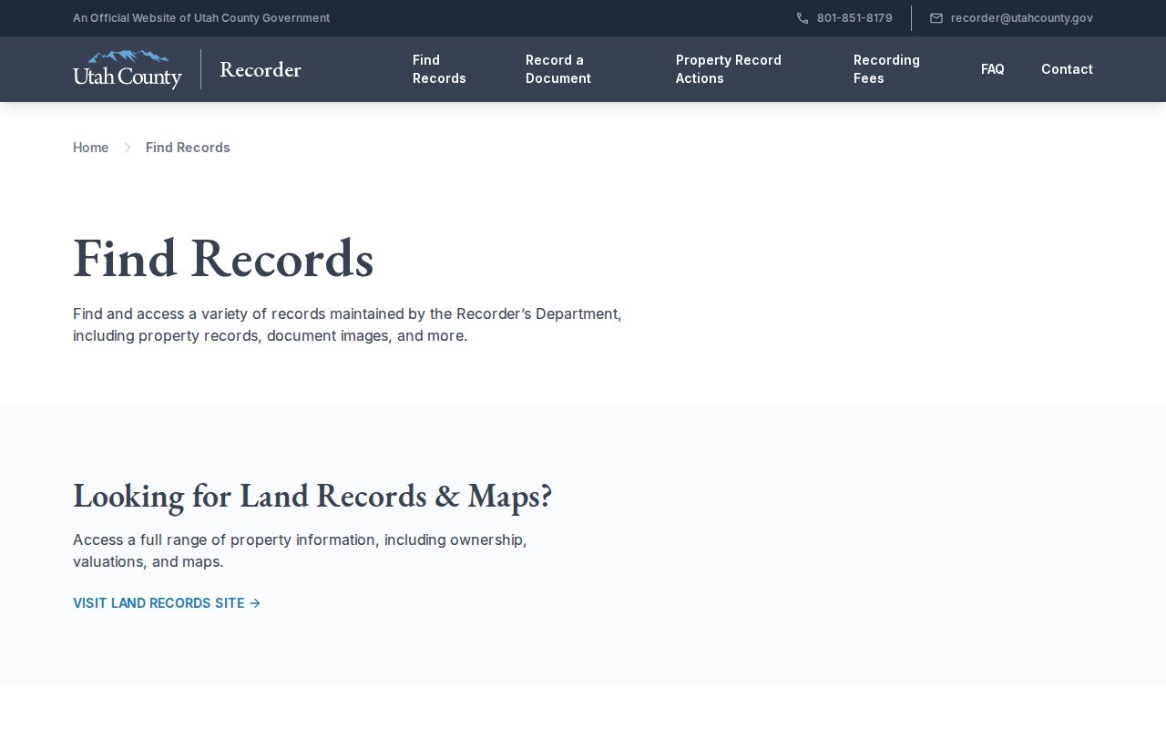 shows the official explanation of dates, abstracts, plats, and public-copy access.
The grantor-grantee capture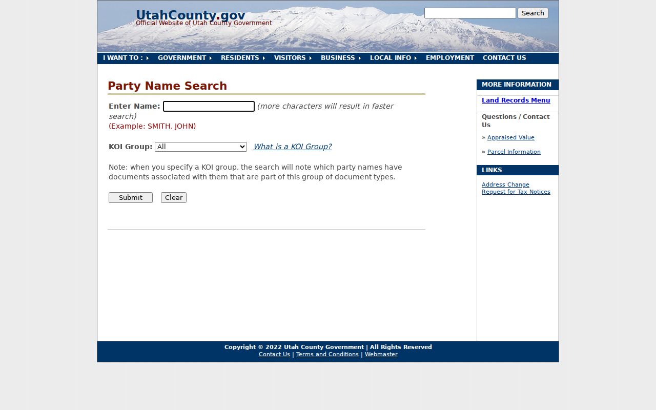 illustrates the party route. The Recorder coverage page explains how the index, abstracts, plats, and public-copy rules fit together.
Check the Street’s ZIP Layer
The county address form lacks a visible ZIP field. A ZIP-driven street search should use the county ZIP layer, address points, Parcel Map, and USPS exact-address lookup. GIS ZIP polygons are approximate service areas and are not the same as postal delivery or legal city boundaries. Record the ZIP and postal city exactly as returned, then separately record the municipality.
Northern Lehi is a current example. ZIP 84048 became effective July 1, 2025, for about 11,500 address points, while 84043 remained for the rest of Lehi. A prior directory or parcel record can therefore show a different ZIP without proving that anyone moved.
The county ZIP layer capture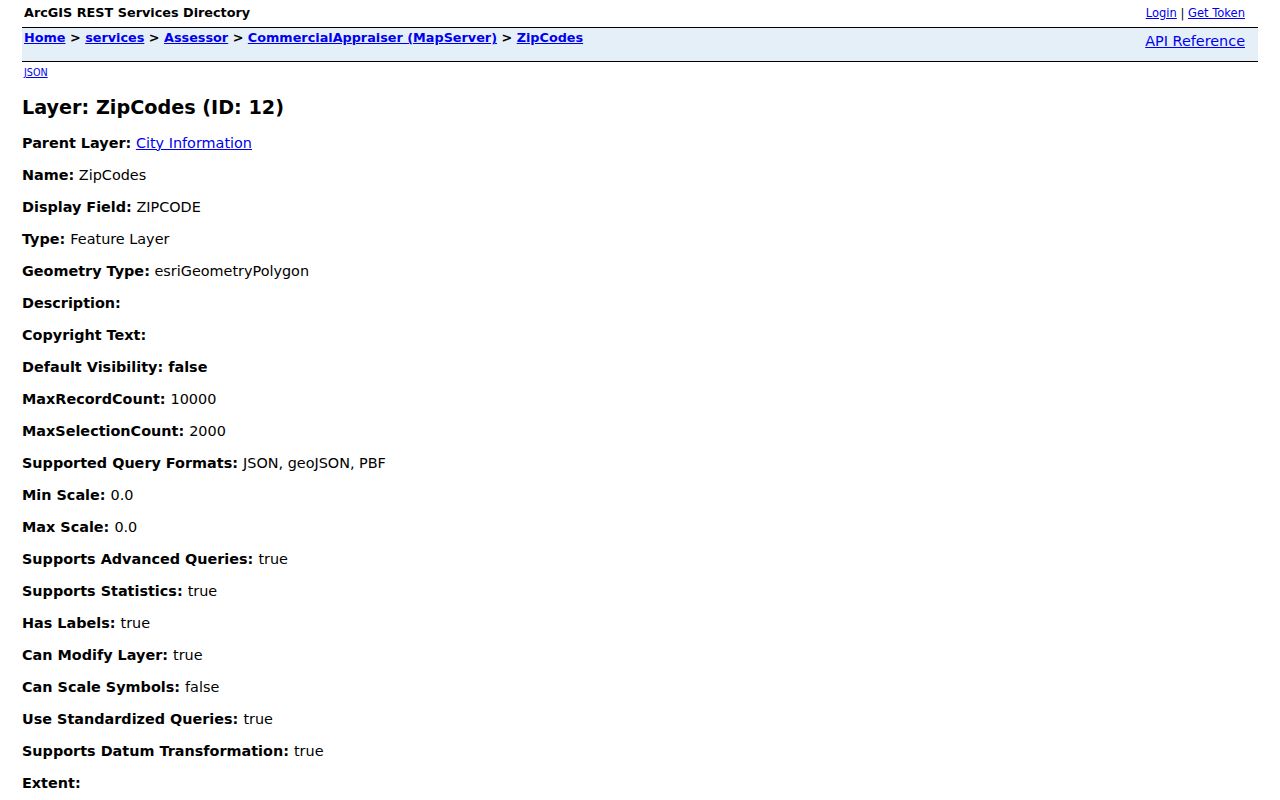 links the ArcGIS service to the street workflow.
Limits of a Utah County Street Directory
A street directory can show a public owner connection, a recorded party, a public voter field, or a dated historical listing. It does not provide a complete roster of household members, utility customers, mail recipients, or occupants. Utah Driver License Division information is restricted under the Driver’s Privacy Protection Act framework, and a license city is not a home address.
Safe at Home can substitute an address for eligible survivors, and At-Risk protections can withhold identifying voter data. Do not use another record to defeat that protection. A lack of a result may be an intentional privacy outcome, a formatting issue, or a record outside the source’s coverage.
Lawful use. Utah County address records support personal, lawful research and neighborhood history. Using records to monitor, stalk, harass, intimidate, or harm a person can create safety and legal risks under Utah law.